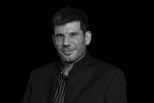
Hèctor A. Orengo is an ICREA Research Professor at the Barcelona Supercomputing Center, where he leads the Computational Humanities Section and directs the Computational Research in Archaeology Group (CoRArch). He obtained his PhD from the Rovira i Virgili University in 2010 and, since then, he has developed research at the GEOLAB (UMR 6042) in France, the Universities of Nottingham, Sheffield and Cambridge in the UK, and the Catalan Institute of Classical Archaeology in Spain. His research has focused on long-term human-environment interactions and the development of computational methods to address archaeological problems.
Research interests
Hèctor’s research has mainly focused on the analysis of human-landscape dynamics in Mediterranean environments and beyond. He has developed extensive research on computational archaeology that includes, but is not restricted to, GIS and remote sensing techniques, field survey, and site detection methods. He is currently working on the application of machine learning to archaeological research using cloud computing and big data sources (mostly multisource multitemporal satellite data, drone imagery and lidar).
Selected publications
– Mayoral A, Ejarque A, Garcia-Molsosa A, Georgiadis M, Apostolou G, Gaertner V, Kallintzi C, Kefalidou E & Orengo H 2024 ‘A city against the current: A reconstruction of Holocene sea-level changes and the evolution of coastal landscapes in ancient Abdera (Thrace, Gr.)‘, Catena, 235.
– Apostolou G, Venieri K, Mayoral A, Dimaki S, Garcia-Molsosa A, Georgiadis M, Orengo HA 2024, ‘Integrating legacy survey data into GIS-based analysis: The rediscovery of the archaeological landscapes in Grevena (Western Macedonia, Greece)‘, Archaeological prospection, 31 – 1 – 37 – 52.
– Apostolou G, Mayoral A, Venieri K, Dimaki S, Garcia-Molsosa A, Georgiadis M & Orengo HA 2024, ‘Holocene alluvial dynamics, soil erosion and settlement in the uplands of Macedonia (Greece): New geoarchaeological insights from Xerolakkos in Grevena‘, Quaternary science advances, 15.
– Bulawka N & Orengo HA 2024, ‘Application of Multi-Temporal and Multisource Satellite Imagery in the Study of Irrigated Landscapes in Arid Climates‘, Remote sensing, 16 – 11 -1997.
– Bulawka N, Orengo HA & Berganzo-Besga I 2024, ‘Deep learning-based detection of qanat underground water distribution systems using HEXAGON spy satellite imagery‘, Journal of archaeological science, 171 – 106053.
– Apostolou G, Venieri K, Mayoral A, Dimaki S, Garcia-Molsosa A, Georgiadis M & Orengo HA 2024, ‘Long-Term Settlement Dynamics in Ancient Macedonia: A New Multi-Disciplinary Survey from Grevena (NW Greece)‘, Land, 13 – 11 – 1769.
